Mörbylångaleden - Stage 1
Öland Tourist Office - Skogsby
18 kilometers, 6–7 hours of hiking
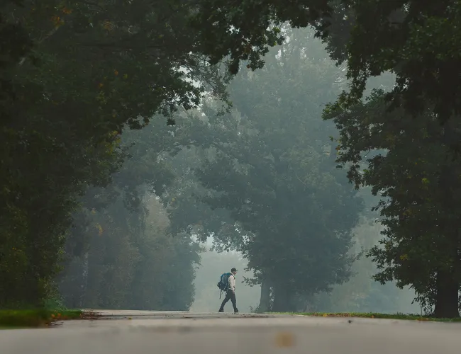
On this stage, you get to experience Kalmarsund and the Öland Bridge as well as the outskirts of Färjestaden. Continue over open countryside past the villages of Björnhovda, Arontorp and Kåtorp, sites of ancient gold treasures. Experience the lush Mittlandsskogen, Northern Europe's largest contiguous deciduous forest area. Lenstad next, a well-preserved terraced village that is the last outpost of the Great Alvar and on to Kalkstad, an angled terraced village. Along stone walls and over beautiful meadows, you continue to the final destination of the stage - Station Linné.

Mörbylångaleden - Stage 2
Skogsby - Mörbylånga
18 kilometers, 6–7 hours of hiking
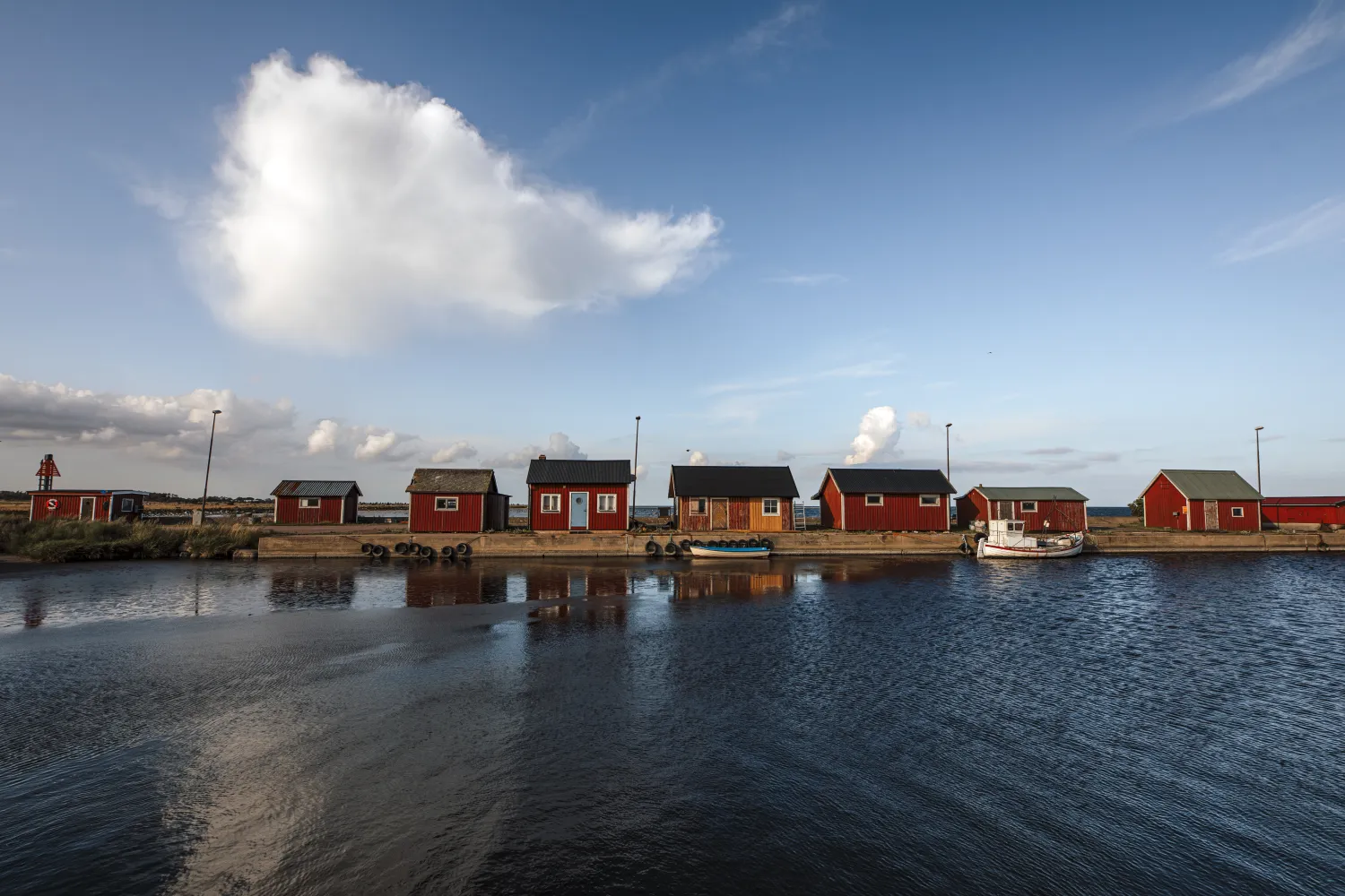
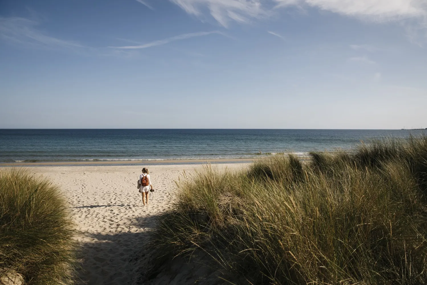
Accompanied by stunning views, this stage takes you along the coast to Mörbylånga. You pass through the leafy, bird-rich Vickleby forest and continue along the Kalmar Sound past Haga Park. You follow the beautiful, steep sand cliff south past Klevabadet. After another leafy forest area and a few slopes, you can see Mörbylånga. There is a picnic and barbecue area close to the community.

Mörbylångaleden - Stage 3
Mörbylånga - Kastlösa
13.5 kilometers, 5–6 hours of hiking
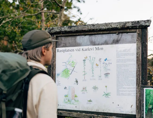
You hike through central Mörbylånga and then head towards Risinge village and Risingehamn. Here you will find an unbeatable view of coastal meadows and Kalmar Strait. You will then arrive at Klovenhall's rest area, which is located right next to the beach. There is a toilet, wind shelter, barbecue area and information board. Then continue along Risinge's lovely beach to turn off over the fields that take you via the leafy village street into Kastlösa.

Mörbylångaleden - Stage 4
Kastlösa - Seby Location
19 kilometers, 7–8 hours of hiking
You will get out over the vast alvar expanses with a wonderful view of the Baltic Sea. The Mörbylångaleden trail continues south on the partly straight old railway embankment, which can be a little uneven due to the railway sills left behind, wear and tear of animals, weather and wind. There is a stretch here with a number of works of art placed, called the Sculpture Trail. You will then arrive at the finish line, Seby Läge, where there is a toilet and barbecue area. Along this stretch there is a very popular rest area at Penåsa. There are barbecue areas and wind shelters for overnight stays. From Penåsa you can also continue on other hiking trails over Alvaret.

Mörbylångaleden - Stage 5
Seby Location - Ottenby
14 kilometers, 5–6 hours of hiking
You walk across the unique lakelands to Gräsgård's harbour. After crossing the main road, you continue on the village street through Gammalsby and into the next village, Mellstaby. After a bit on the old railway embankment, you pass Eketorp's castle. You follow the village street in Enetri with the beautiful view of the lakelands and the Baltic Sea to the township of Näsby, which is divided by the 4,611-metre-long Karl X Gustav's wall. You will then arrive at Mörbylångaleden's final destination, Ottenby Hostel. This stage was hiked by HRH Crown Princess Victoria during her Öland landscape walk in 2018. Take the opportunity to visit Eketorp's Castle, a uniquely preserved Iron Age village. From Ottenby hostel you can get through Ottenbylunden and down to Öland's southern cape and Långe Jan.
STF's 12 signature leaders
Sweden offers many different hiking trails in both mountain environments and flat landscapes. To make it easier for your next hike, we have made a selection of Sweden's most spectacular trails – we call them signature trails. The 12 signature trails are characterised by the beautiful nature and the fact that they are characteristic of their region. Together, the 12 trails provide a broad picture of Sweden's hiking offer and nature.