
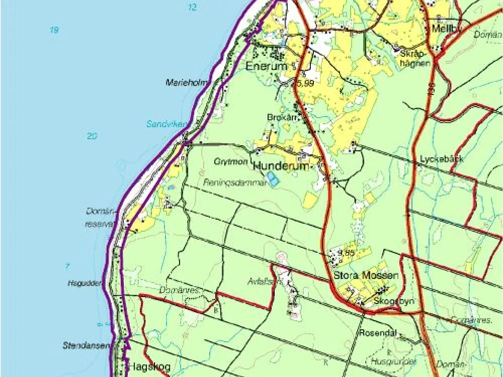
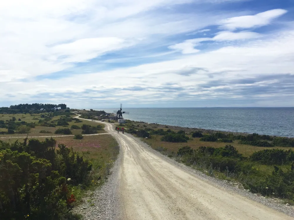
The coastal road between Byrum and Äleklinta
An archaic road environment with prehistoric house foundations and graves as well as harbours, boathouse plans, remains of quarrying and Öland's only preserved wind-driven scouring mill, now a listed building.
From Byerum down to Äleklinta, a distance of just over 30 kilometres, winds on the crest of the castle a narrow gravel road. The view is magnificent over the Kalmar Sound to the west and the grazed alvar fields to the east. The road runs along the Öland stone coast and can be found on maps from the 1600s, but is probably much older. Along the entire road there are quarries on the shoreline with large amounts of scrap stone. The road has been of great importance for transport to the various shipping ports. Today, stone quarrying takes place mainly on the east side of the road.
Stone industry
The stone industry has medieval origins and its centre was at Horn. In the 1500s, the stonemason's village of Dälje was established at Hornsudde, which was Sweden's first stonemason's workshop with state protection. The master stonemason with journeymen was paid by the bailiff at Borgholm Castle and was a purveyor to the royal court. The reasons why the stonemasonry was located here were the availability of good quality stone and the markedly increased need for artfully carved stone for Borgholm and Kalmar Castles. One of the more significant master stonemasons was Roland Moeschlin who immigrated from France, who among other things carved the courtyard well at Kalmar Castle. Just north of the old quarries at Hornsudden there was a shipping port for the stone. No remains remain today and the last time the name Dälje is mentioned is in 1690. During the 1630s, the artist Henrik Damér worked in Persnäs to ensure the quarrying of stone for a burial choir in Strängnäs Cathedral. In 1651 it is documented that "Joen" in Gillberga delivered stone to Borgholm Castle. The stone that was delivered, among other things, for flooring, was also to be sanded and for this cattle-driven scouring mills were used. There have been many scouring mills and at Hallnäs quarry on the east side alone, it is reported that up to 17 scouring mills were running at the same time. During the latter part of the 1800s, wind-driven scouring mills began to be erected in a number of places. At Jordhamn there is the island's only preserved wind-driven scouring mill. Next to the restored scouring mill there are remains of old quarries and older cattle-driven scouring walks. The quarry also includes lime firing and remains of lime kilns can be found, among other places, at Bruddesta. At Grytehamn there are extensive remains of older quarrying, but there are also quarries that are still in use through Ölandssten AB. The port lost its importance completely when Sandvik's large port facility was built in the 1870s.
Ancient monuments
Along the way there are numerous ancient monuments in the form of house foundation areas and graves. Among other things, Knisa can be mentioned with a 1 x 0.5 kilometre area with twelve house foundations and an extensive stone string system. Six farms and two smaller burial grounds can be distinguished here. At Lofta and Hjälmstad there is a house foundation area with ten house foundations but also a relatively large number of graves, most of them gathered in three burial grounds, totalling about 100 graves of varying shapes. At Grytehamn there are three burial grounds near the shore of about 35 graves, eleven of which are recesses after coffin graves. At Högåsen there are two burial grounds, including a larger one consisting of almost 60 facilities. The environment also includes a bowl pit block and northeast of Högåsen there is a stone string system. In the northernmost part of the area, at Norra Grankärret, there are eight archaic enclosures, built on beach embankments. A few Bronze Age cairns occur, such as Bruddesta pipe and Blå rör at Korntorp. All in all, the ancient monument environments show that even the barren stone coast has had a settlement here from at least the end of the Early Iron Age. It is also possible to suspect, through some of the remains' location near the coast, that the economy in prehistoric society, as well as in the historical one, has been differentiated. The villages in the vicinity may have engaged in varied occupations, including fishing. It may also be the case that the burial grounds located near the shore may represent a population that specialized in maritime industry/sailing. Many of the ancient monument environments often occur in connection with the places that in historical times have been the most important port and fishing villages.
Along the road there are also well-preserved boathouses, among the more interesting are the boathouses at Hornsudde, Gillberga, Jordhamn, Bruddesta and Äleklinta. At Hornsudde there is a cairn site, linked to a stone pipe that is still preserved. The stone pipe has also served as a navigation mark and is marked on a nautical chart from 1792.