
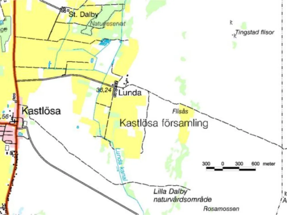
06. Gösslunda - Tingstad Flisor
Gösslunda - Tingstad flisor is a marked hiking trail of approximately 3.5 km, which starts at the parking area across the road that leads into Gösslunda village and continues south.
The trail runs along the outskirts of Gösslunda nature reserve. After passing a small foot-bridge where the water gushes underneath after the springtime snow-melting, you will arrive on a dry ridge. Here are the remains of a so-called stone string, which probably dates back to the early Iron Age. On an old beach bank which was formed during the Ice Age, lies a prehistoric burial field with 70 visible stone settings and the remains of two large mounds. Tingstad flisor, two giant upright carved limestone slabs over three metres tall, rise above the surroundings. The slabs have not been dated but they are mentioned in a document from 1393. These slabs probably served as some kind of orientation points at the time when the landscape was more open. Three roads converged here, making it a probable meeting place where common issues were decided. There are also theories that the 90-degree angle of the slabs may have served as a sundial, in order to mark the start and end of meetings. Many old stories and tall tales are related to this legendary place. In the nearby forest grove is a well, although it may be difficult to find.
For map, follow "links" below.
For map, follow "links" below.